
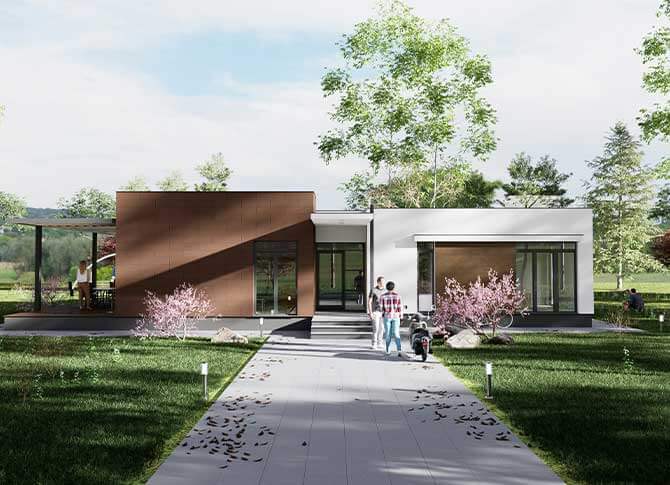
3D Renderings
3d Renderings Virginia
At SkyHawk Survey Solutions, we offer cutting-edge 3D renderings and aerial modeling services that transform drone-captured data into visually compelling, highly accurate, and interactive three-dimensional models.

These models provide true-to-scale visualizations of land, structures, and infrastructure—supporting decision-making across industries like construction, real estate, energy, security, and emergency response.
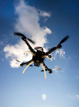

What Are 3D Renderings in Virginia?
3D renderings are digital, photorealistic models created from overlapping aerial images captured by our drones. Using advanced photogrammetry software and LiDAR-compatible workflows (when applicable), we stitch together hundreds or thousands of high-resolution images to form:
- Detailed 3D mesh models of buildings, terrain, and infrastructure
- Topographic surface models and point clouds
- Textured 3D maps with real-world accuracy and geolocation
- Interactive fly-through simulations for site walkthroughs and planning
Key Features of Virginia 3D Drone Renderings
- Centimeter-level accuracy (depending on ground control setup and environment)
- Integration with AutoCAD, GIS, Revit, and BIM platforms
- Annotated models for inspection, asset tracking, or documentation
- Volumetric measurement (e.g., stockpiles, excavation zones)
- Time-lapse 3D modeling for construction progress tracking
Use Cases and Industry Applications
Our 3D rendering service is customized to meet the needs of commercial, industrial, and public-sector clients:
Construction & Engineering
- Pre-construction planning and bid support
- Earthworks and volumetric tracking
- Site logistics and design validation
- As-built documentation and change detection
Real Estate Development
- 3D models for marketing, investor presentations, and site tours
- Accurate visualization of elevation, layout, and neighborhood context
Municipal & Emergency Response
- 3D mapping of disaster zones, fire paths, and structural collapses
- Real-time visualization for urban planning, emergency logistics, or incident command
Energy & Utilities
- Digital twin creation for towers, substations, and solar farms
- Inspection of hard-to-access infrastructure with full spatial context
Security and Site Analysis
- Perimeter security modeling and line-of-sight (LOS) analysis
- Visual overlays for camera coverage, access points, and blind spots
Why SkyHawk?
- Veteran-owned, FAA Part 107 certified, and experienced in secure site operations
- Trained in physical security, risk management, and mission-critical support
- Equipped with high-performance drones and photogrammetry tools
- Deliverables tailored to engineering, compliance, and operations teams
We provide clients with final 3D renderings in multiple formats:
- .OBJ, .FBX, .LAS, or .PLY for modeling platforms
- Online, shareable 3D viewers
- Secure client portals for download and collaboration
Let Us Elevate Your Perspective About 3d Aerial Rendering
SkyHawk’s 3D rendering capabilities enable our clients to see, measure, plan, and respond like never before. Whether you’re managing a complex infrastructure project, conducting a site assessment, or planning a high-security facility—our aerial models deliver the clarity and context you need to make smarter decisions from every angle.
What are 3D renderings?
3D renderings are digital models created from aerial images, providing accurate, interactive visualizations for planning and decision-making.
How accurate are SkyHawk’s 3D renderings?
Our 3D renderings offer centimeter-level accuracy, depending on ground control setup and environment, ensuring precise models.
What industries use 3D renderings?
3D renderings are used in construction, real estate, energy, security, and emergency response for visualization, planning, and documentation.
What is the benefit of using 3D renderings in construction?
3D renderings help with pre-construction planning, bid support, site logistics, and as-built documentation, improving project accuracy and efficiency.
How can 3D renderings assist in real estate development?
3D renderings offer accurate visualizations for marketing, site tours, and investor presentations, improving project decision-making.